"One golden observation is worth a thousand simulations."
- from the Ten Extra Commandments for Climate Modeling by J.E. Kutzbach
Welcome to the Climate Data Guide!
The Climate Data Guide (or "Guide") is an expert knowledge portal providing concise and reliable information on the strengths and limitations of the climate data that are essential for measuring and predicting the evolution of the Earth system.
The Guide publishes data summaries with access links, intercomparisons, and expert commentaries on the utility of climate data for addressing a wide variety of questions in climate science.
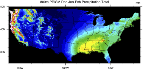
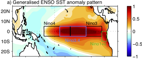
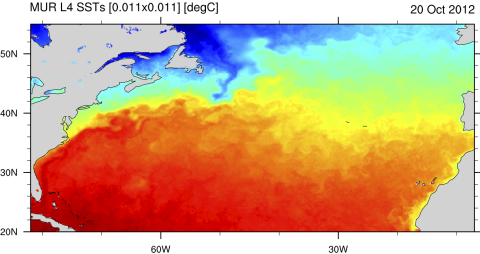
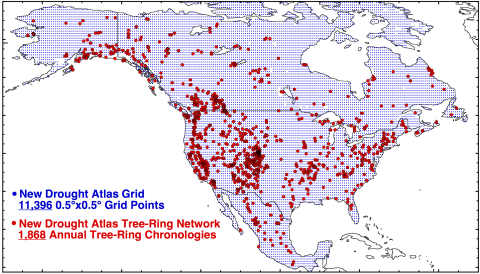
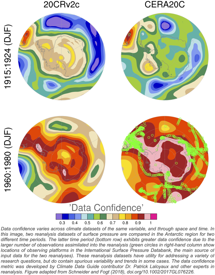
The Guide has helped over a million readers from around the world gain an insider's perspective on data ranging from AI-generated precipitation data to state-of-the-art data assimilation products (e.g. reanalysis) to paleoclimate records from tree rings and corals.