NCEP NARR
Teaser image

Main content
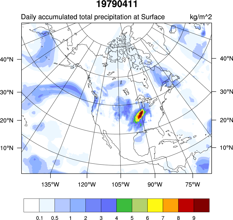
A high resolution (32km x 29 pressure levels) data set focused upon the North American Region. Relative to the NCEP-DOE (R2) it has a much improved land-hydrology, diurnal cycle and land-atmosphere interaction. As such, it can be considered a second generation reanalysis. A unique feature is the direct assimilation of observed precipitation.
Please cite data sources, following the data providers' instructions
Dataset DOIs
None
Hosted Climate Index Files
None
Usage Restrictions
None
Cite this page
Acknowledgement of any material taken from or knowledge gained from this page is appreciated:
National Center for Atmospheric Research Staff (Eds). Last modified "The Climate Data Guide: NCEP NARR.” Retrieved from https://climatedataguide.ucar.edu/climate-data/ncep-narr on 2026-02-07.
Citation of datasets is separate and should be done according to the data providers' instructions. If known to us, data citation instructions are given in the Data Access section, above.
Acknowledgement of the Climate Data Guide project is also appreciated:
Schneider, D. P., C. Deser, J. Fasullo, and K. E. Trenberth, 2013: Climate Data Guide Spurs Discovery and Understanding. Eos Trans. AGU, 94, 121–122, https://doi.org/10.1002/2013eo130001
Key Figures
Other Information
Earth system components and main variables
Type of data product
Dataset collections
None

