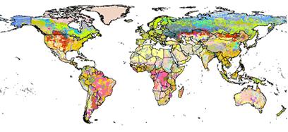
Harmonized Soil Carbon Database
"This state-of-the-art database was established by IIASA and FAO in partnership with:
- ISRIC-World Soil Information which, together with the FAO, contributed recent regional soil and terrain databases together with the WISE soil profile database;
- The European Soil Bureau Network, which provided its major new update of soil information for Europe and northern Eurasia; and
- The Institute of Soil Science, Chinese Academy of Sciences, which made available its most recent 1:1,000,000 scale Soil Map of China.
About HWSD
HWSD has two main goals:
- To increase the quantity and quality of data available by capturing data at a grid cell size of 30 arc seconds of longitude and latitude (approximately, l km);
- To harmonize and expand soil attribute information (texture, composition) with recently collected soil data."
FAO/IIASA/ISRIC/ISSCAS/JRC, 2012. Harmonized World Soil Database (version 1.2). FAO, Rome, Italy and IIASA, Laxenburg, Austria.
Cite this page
Acknowledgement of any material taken from or knowledge gained from this page is appreciated:
National Center for Atmospheric Research Staff (Eds). Last modified "The Climate Data Guide: Harmonized Soil Carbon Database.” Retrieved from https://climatedataguide.ucar.edu/climate-data/harmonized-soil-carbon-database on 2026-06-23.
Citation of datasets is separate and should be done according to the data providers' instructions. If known to us, data citation instructions are given in the Data Access section, above.
Acknowledgement of the Climate Data Guide project is also appreciated:
Schneider, D. P., C. Deser, J. Fasullo, and K. E. Trenberth, 2013: Climate Data Guide Spurs Discovery and Understanding. Eos Trans. AGU, 94, 121–122, https://doi.org/10.1002/2013eo130001