NCEP-NCAR (R1): An Overview

NCEP-NCAR (R1) is the original reanalysis effort. It uses a frozen global state-of-the-art global data assimilation system (as of 11 January 1995). The original database was enhanced (additional, quality checked datasets) by NCAR's Data Support Section. Originally planned to span 1957-96 ("40-Year Reanalysis Project"), it was extended back to 1948 and continues to this day.
Key Strengths
Global Data Set
Longest running reanalysis that uses rawindsonde data
Used in many publications so it can be used as a baseline reference for many computations
Key Limitations
Antiquated (1994) data assimilation/model
Low spatial and temporal moisture variability over oceans (mainly model 'first guess' fields)
relatively poor Southern Hemisphere
varies by download site
Cite this page
Acknowledgement of any material taken from or knowledge gained from this page is appreciated:
National Center for Atmospheric Research Staff (Eds). Last modified "The Climate Data Guide: NCEP-NCAR (R1): An Overview.” Retrieved from https://climatedataguide.ucar.edu/climate-data/ncep-ncar-r1-overview on 2026-06-15.
Citation of datasets is separate and should be done according to the data providers' instructions. If known to us, data citation instructions are given in the Data Access section, above.
Acknowledgement of the Climate Data Guide project is also appreciated:
Schneider, D. P., C. Deser, J. Fasullo, and K. E. Trenberth, 2013: Climate Data Guide Spurs Discovery and Understanding. Eos Trans. AGU, 94, 121–122, https://doi.org/10.1002/2013eo130001
Key Figures
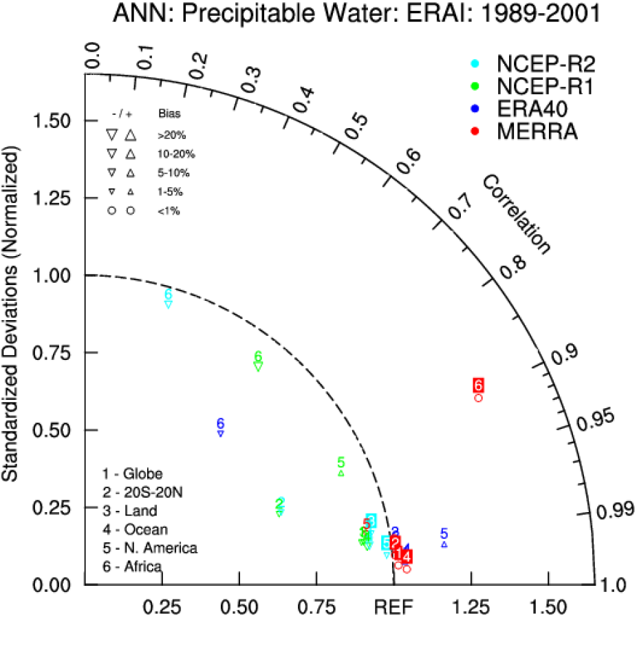
Taylor Diagram NCEP NCAR Reanalysis
Other Information
- Kalnay et al.,1996: The NCEP/NCAR 40-Year Reanalysis Project. Bull. Amer. Meteor. Soc., 77, 437–471.
- Kistler, R., et al, 2001: The NCEP-NCAR 50-Year Reanalysis: Monthly Means CD-ROM and Documentation. Bull. Amer. Meteor. Soc., 82, 247-267