GHRSST: Group for High Resolution Sea Surface Temperature
Key Strengths
Key Limitations
Cite this page
Acknowledgement of any material taken from or knowledge gained from this page is appreciated:
National Center for Atmospheric Research Staff (Eds). Last modified "The Climate Data Guide: GHRSST: Group for High Resolution Sea Surface Temperature.” Retrieved from https://climatedataguide.ucar.edu/climate-data/ghrsst-group-high-resolution-sea-surface-temperature on 2026-07-21.
Citation of datasets is separate and should be done according to the data providers' instructions. If known to us, data citation instructions are given in the Data Access section, above.
Acknowledgement of the Climate Data Guide project is also appreciated:
Schneider, D. P., C. Deser, J. Fasullo, and K. E. Trenberth, 2013: Climate Data Guide Spurs Discovery and Understanding. Eos Trans. AGU, 94, 121–122, https://doi.org/10.1002/2013eo130001
Key Figures

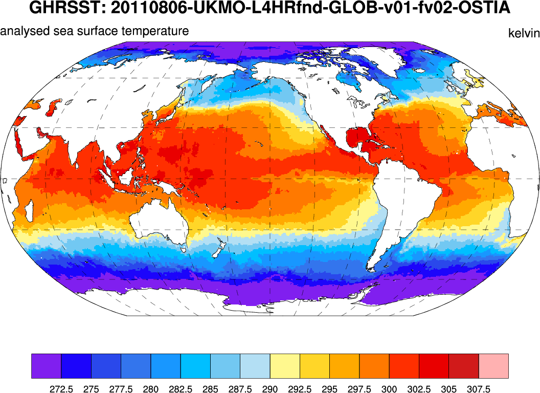
GHRSST: Sample high resolution (3600x7200) SST. (Climate Data Guide; D. Shea)
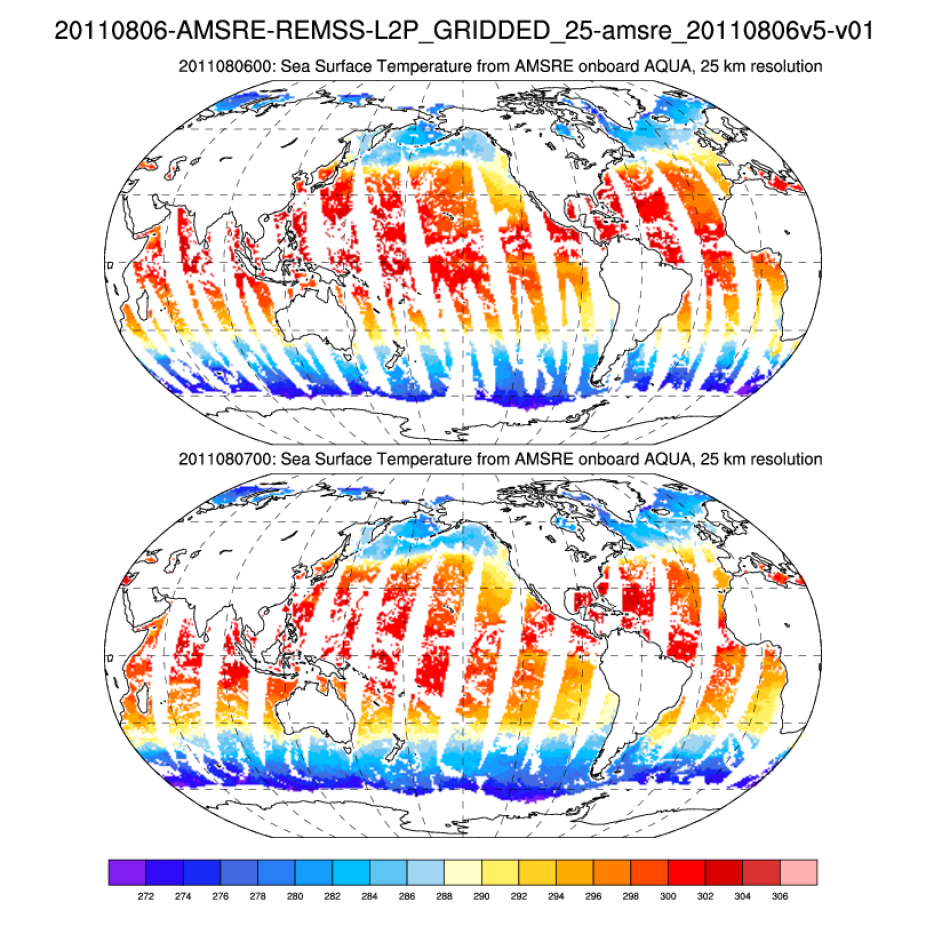
GHRSST: Sample level-2 gridded (L2P-G) resolution (360x720) SST. (Climate Data Guide; D. Shea)
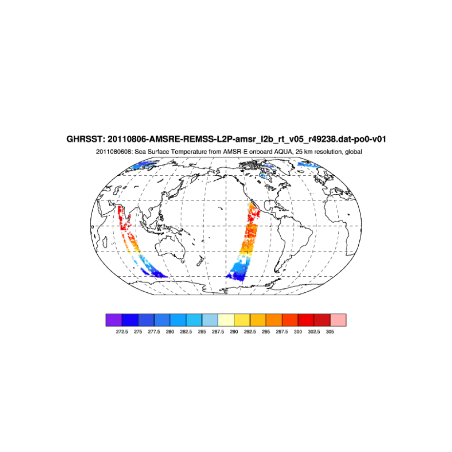
GHRSST: Sample level-2 (L2) swath (243x4193) SST. (Climate Data Guide; D. Shea)