Climate data guide content with tag AVHRR
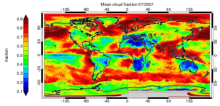 CLARA-A1: Cloud properties, surface albedo and surface radiation products based on AVHRR
Years of record
- to
"CLARA-A1 (CLoud, Albedo and RAdiation dataset, AVHRR-based, version 1) is a global dataset of cloud properties, surface albedo and surface radiation products, generated by the EUMETSAT Satellite Application Facility on Climate Monitoring (CM SAF). The products are derived from measurements of the Advanced Very High Resolution Radiometer (AVHRR) onboard the polar…
Main variables and Earth System components
Atmosphere Cloud Properties Liquid Water Path Radiation Surface albedo-
Formats
- netCDF
-
Timestep
- Daily, Monthly, Pentad
-
Domain
- Global
-
Collections
- Climate Data Record
Experts contributing reviews
- Stengel, Martin
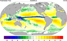 HOAPS: Hamburg Ocean Atmosphere Parameters and Fluxes from Satellite Data
Years of record
- to
The Hamburg Ocean Atmosphere Parameters and Fluxes from Satellite Data (HOAPS) set is a satellite-based climatology of precipitation, evaporation and freshwater budget (evaporation minus precipitation) as well as related turbulent heat fluxes and atmospheric state variables over the global ice free oceans. All variables are derived from SSM/I passive microwave…
Main variables and Earth System components
Atmosphere Evaporation Evaporation-Precipitation Precipitation Radiation Specific Humidity Wind Latent & sensible heat flux Precipitable water Ocean SST - sea surface temperature-
Formats
- netCDF
-
Timestep
- Climatology, Sub-daily, Monthly, Pentad
-
Domain
- Global
-
Collections
- Boundary Conditions
Experts contributing reviews
- N/A
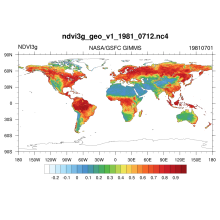 NDVI: Normalized Difference Vegetation Index-3rd generation: NASA/GFSC GIMMS
Years of record
- to
Normalized Difference Vegetation Index-3rd generation (NDVI) using the Global Inventory Monitoring and Modeling System (GIMMS): Vegetation indices are radiometric measures of photosynthetically active radiation absorbed by chlorophyll in the green leaves of vegetation canopies and are therefore good surrogate measures of the physiologically functioning surface…
Main variables and Earth System components
N/A-
Formats
- netCDF
-
Timestep
- Daily
-
Domain
- Global
-
Collections
- Climate Data Record
Experts contributing reviews
- N/A
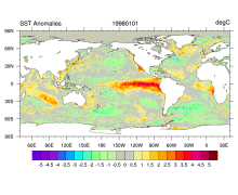 SST data: NOAA High-resolution (0.25x0.25) Blended Analysis of Daily SST and Ice, OISSTv2
Years of record
- to
"NOAA’s Optimum Interpolation Sea Surface temperature (OISST, also known as Reynolds’ SST) is a series of global analysis products, including the weekly OISST on a 1° grid to the more recent daily on a ¼° grid. An SST analysis is a spatially gridded product created by interpolating and extrapolating data, resulting in a smoothed complete field. OISST provides global…
Main variables and Earth System components
Cryosphere Sea Ice Concentration Ocean SST - sea surface temperatureExperts contributing reviews
- Banzon, Viva, Reynolds, Richard
 SST data: NOAA Optimal Interpolation (OI) SST Analysis, version 2 (OISSTv2) 1x1
Years of record
- to
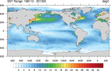
The NOAA Optimal Interpolation SST analysis provides global, spatially complete SSTs on a weekly and monthly basis for 1982-present.
Experts contributing reviews
- Banzon, Viva, Reynolds, Richard