Climate data guide content with tag land evaporation
 Global Land Evaporation Amsterdam Model (GLEAM)
Years of record
- to
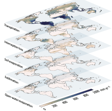
The Global Land Evaporation Amsterdam Model (GLEAM) is a satellite remote sensing-based set of algorithms dedicated to the estimation of evaporation and soil moisture at global scales (Miralles et al. 2011). The current version of GLEAM (version 3) operates at a daily time step with a spatial resolution of 0.25 degrees (Martens et al. 2017). The dataset consists of two…
Main variables and Earth System components
Biosphere land evaporation Land evapotranspiration Soil Moisture-
Formats
- N/A
-
Timestep
- Daily
-
Domain
- Global
-
Collections
- N/A
Experts contributing reviews
- Miralles, Diego, Koppa, Akash