Climate data guide content with tag shapefile
 IBTrACS: Tropical cyclone best track data
Years of record
- N/A
IBTrACS (International Best Track Archive for Climate Stewardship) provides global tropical cyclone best track data in a centralized location to aid our understanding of the distribution, frequency, and intensity of tropical cyclones worldwide. The World Meteorological Organization Tropical Cyclone Programme has endorsed IBTrACS as an official archiving and distribution…
Experts contributing reviews
- Schreck, Carl
 NSIDC Sea Ice Index
Years of record
- to
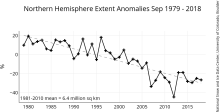
The NSIDC Sea Ice Index is a suite of easy-to-use sea ice analyses to track changes in Arctic and Antarctic sea ice. The product is produced and supported by the NOAA at NSIDC group and consists of browse imagery and data text files (CSV or Excel format). The input data is from two sources distributed by the NASA NSIDC Distributed Active Archive Center (DAAC): (1) Sea…
Experts contributing reviews
- Meier, Walter
 Permafrost: Circum-Arctic Map of Permafrost and Ground Ice Conditions
Years of record
- N/A
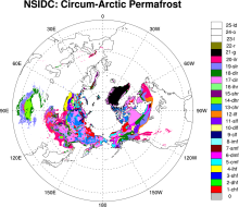
The circumpolar permafrost and ground ice data contribute to a unified international data set that depicts the distribution and properties of permafrost and ground ice in the Northern Hemisphere (20°N to 90°N). The re-gridded data set shows discontinuous, sporadic, or isolated permafrost boundaries.
-
Timestep
- Climatology
-
Domain
- NH - Northern Hemisphere
-
Collections
- N/A
Experts contributing reviews
- N/A
 Randolph Glacier Inventory data base of global glacier outlines
Years of record
- N/A
The Randolph Glacier Inventory (RGI) is a global data base of glacier outlines. It is intended for estimates of ice volume and glacier mass at regional and global scales. The data are organized into 19 large regions, with a shapefile provided for each region. The RGI is produced as part of the Global Land Ice Measurements from Space (GLIMS) initiative, a project to…
Experts contributing reviews
- N/A
 World Ocean Atlas 2013 (WOA13)
Years of record
- to
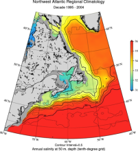
The World Ocean Atlas (WOA) is a set of climatological mean, gridded fields of oceanographic variables based on in-situ measurements from a wide variety of sources. Global, decadal averages of temperature, salinity, oxygen and nutrients are provided at monthly, seasonal and annual averaging periods on 102 standard depth levels from 0 to 5500m, and at 0.25° (…
Main variables and Earth System components
Ocean Dissolved Oxygen phosphate potential temperature silicate SST - sea surface temperature Sub Surface Salinity Sub Surface Temperature Sub-surface data-
Timestep
- Climatology, Monthly, Seasonal
-
Domain
- Global
-
Collections
- Diagnostic Data Sets, NCAR-DOE-CESM, oceandiagnostics
Experts contributing reviews
- Mishonov, Alexey